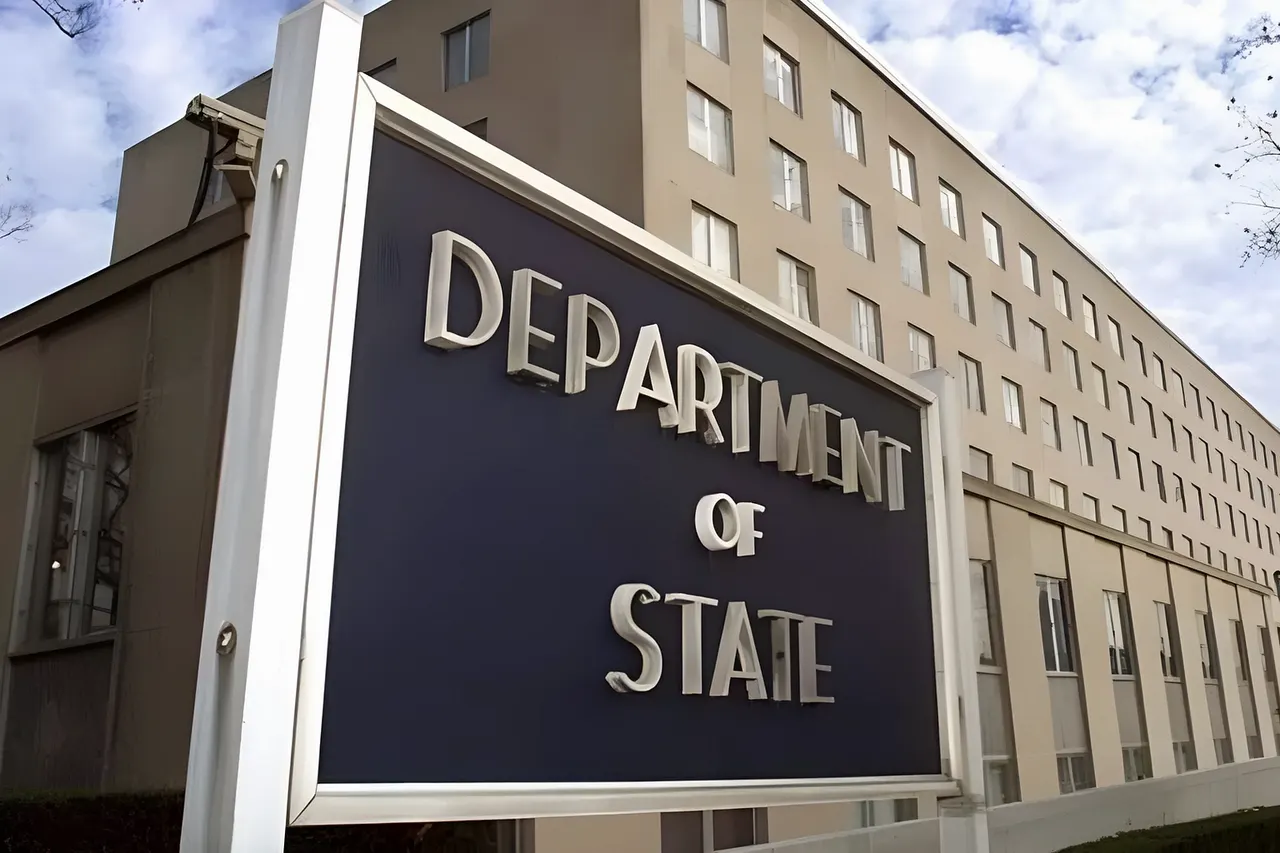

A US government map of Africa mislabeled every country during a State Department presentation at the AIDS 2026 conference held in Rio de Janeiro, Brazil, on July 30, 2026. The erroneous map, which was displayed during a presentation about new health agreements, showed major geographical inaccuracies such as Nigeria being depicted as landlocked in the Sahara Desert, Mozambique relocated to the Horn of Africa, and Ivory Coast placed on the opposite side of the continent.
The map was found to contain an artificial intelligence watermark indicating it was created using OpenAI tools. Screenshots of the map first appeared in a Substack post by AIDS expert Emily Bass and were widely shared on LinkedIn, with one post garnering around 40,000 views.
Matt Petit, an analyst at the Atlantic Council specializing in AI and geopolitics, criticized the slide, stating, "Whoever created and approved this slide did not know where countries in Africa are and did not care to check their work."
The State Department took full responsibility for the confusion caused, explaining that the incorrect map had been added after a last-minute change to the slide deck by a team member. Despite the error, the department emphasized that discussions at the conference were substantive and constructive and reaffirmed its commitment to fighting AIDS with real results.
The incident overshadowed the US officials' presentation of new global health partnership plans at the conference.
Loading comments.