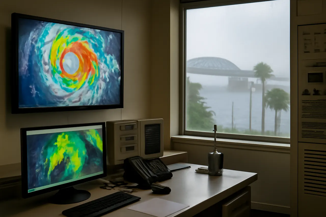
Tropical Storm Bertha strengthened in the Gulf of Mexico on Tuesday, July 21st, 2026, and is forecast to weaken as it moves closer to the US Gulf Coast. The storm is expected to bring coastal flooding, heavy rain, and the risk of isolated tornadoes from the Florida Panhandle to Louisiana.
The Miami-based National Hurricane Center (NHC) reported that Bertha was located about 120 miles southwest of Panama City, Florida, and 105 miles southeast of Mobile, Alabama, moving west at 6 mph with sustained winds near 60 mph. Tropical storm warnings were in effect along the northern Gulf Coast through Wednesday, with rain and flooding possible into Thursday morning.
Michael Buchanan, a meteorologist with the National Weather Service in Louisiana, said Bertha is forecast to make landfall Wednesday night in a lightly populated coastal area southeast of New Orleans. The NHC warned of potentially life-threatening storm surges up to 4 feet in parts of Louisiana, Alabama, and Florida, and noted the possibility of one or two isolated tornadoes over Florida's Big Bend region.
Forecasters also indicated areas of flash flooding could continue through Friday along the coast from western Florida to central Texas, with rainfall totals of 3 to 5 inches expected along the Louisiana coastline and higher amounts in scattered locations.
Meanwhile, Hurricane Fausto churned far from Mexico’s Baja California peninsula in the eastern Pacific Ocean, posing no threat to land. Although no coastal watches or warnings were issued, the NHC cautioned that ocean swells generated by Fausto could create life-threatening surf and rip tide conditions along the Baja California coast.
Bertha is the second tropical storm of the Atlantic hurricane season, following Tropical Storm Arthur, which brought heavy rain to the southeastern US in June.
Sources
- Guardian US (Associated Press)
Loading comments.